Description
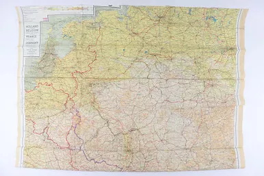
6/30/23 – This is a WW2 original silk map for pilots and paratrooper forces. The detailed map shows railways, roads, canals, and frontiers throughout the landscape. This map is labeled “Sheet C” and the backside is “Sheet D”. These can be combined with other sheets to form a complete view of the European countries involved in WW2. This map shows some mild aging and typical fold creases. There is some mild fraying along the edges but no major issues.